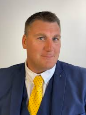
Introducing : Paul Rudland

Paul Rudland
Day or night, seeing the world from above is mesmerising and what was once a keen hobby, turned into a dream job.
My interest first started, piloting them for Search and Rescue after applying for a local position with the team. This one decision has led to me not only being part of the Search and Rescue team, but provided me with the ability to support local businesses with aerial photography, something I love doing as a fully licensed pilot.
Whether it’s saving lives, taking aerial shots for a local business, flying over a local hotspot or photographing land for surveys, it’s great fun being out there! I love not only the quality of shots a drone can take but how they improve the safety of the tasks undertaken; no longer do you have to send somebody up a ladder or scale the side of a building to get shots or find people. A drone can scale the building, whilst the owner is standing right next to me, or can cover and survey great areas with heat mapping and surveying technologies.
I consider myself very lucky to work locally in Suffolk, for a range of businesses :
• Shooting 3D tours
• Carrying out land and building surveys
• Mapping out local farmland
• Carrying out property safety checks
• Taking shots of land for property development
I can produce images, video and all the editing and packaging that goes with them. So, whether you want to shoot a tour for people before they arrive, want some support mapping out land, or simply need to know if your roof needs replacing, then I’m happy to help.